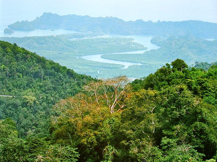
Tanjung Rhu (Cape Rhu) is a large sand spit at the mouth of Sungai Ayer Hangat. This sand spit provides a natural barrier for the protection of the lagoon behind it. Apart from offering its excellent sandy beach, Tanjung Rhu provides several viewpoints of various natural landscapes from karstic hills and beautiful karstic islands, to a variety of lagoonal features.
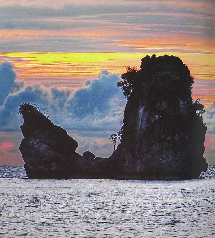
Located about 20 km from Kuah town, Tanjung Rhu is renown for its long, white sandy beaches, and the iconic Ayam Island just offshore. As the name Tanjung Rhu implies, the beaches are lined with Casuarina trees or ‘Pokok Rhu’ in the Malay language.